Hiking tips
Hiking tip Nr. 1
Sankt Vith - Volmersberg (the classic)
!! Extensive forestry work is currently taking place in the Sankt Vith forest. This hike is therefore not recommended again until the beginning of April. !!
Start/finish: Rathausplatz Sankt Vith
Walking nodes 22-92-23-21-45-36-33-41-22
7,6km
Hiking tip Nr. 2
Amelscheid
Start/finish: village center Amelscheid
Walking nodes 30-28-24-25-16-4-5-14-30
7km
Hiking tip Nr. 3
Atzerath
Start/finish: village center Atzerath
Walking nodes 11-72-18-8-10-11
8,4km
Hiking tip Nr. 4
Rodt
Start/finish: Beer Museum Rodt
Walking nodes 93-48-50-67-9-16-94-93
9,3km
Hiking tip Nr. 5
Breitfeld
Start/finish: Ravel between Breitfeld and Neidingen
Walking nodes 55-70-53-60-56-90-61-54-47-55
10,8km
Hiking tip nr. 6
Crombach
Start/finish: near the church
Walking nodes 63-65-89-76-77-51-66-39-40-63
12,8km
suitable for pushchairs, except for approx. 100 m off-road feeling
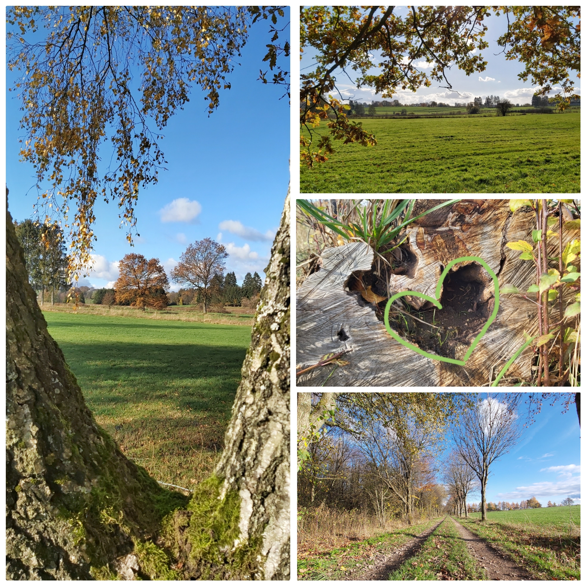sanktvithtouristinfo-bs.jpg?width=200&height=200)
Hiking tip nr. 7
Eiterbach
Natur trifft Kultur
Start/finish: on the crossing, then direction walking node nr.88
Walking nodes 88-37-21-45-32-19-88
12,2km
suitable for pushchairs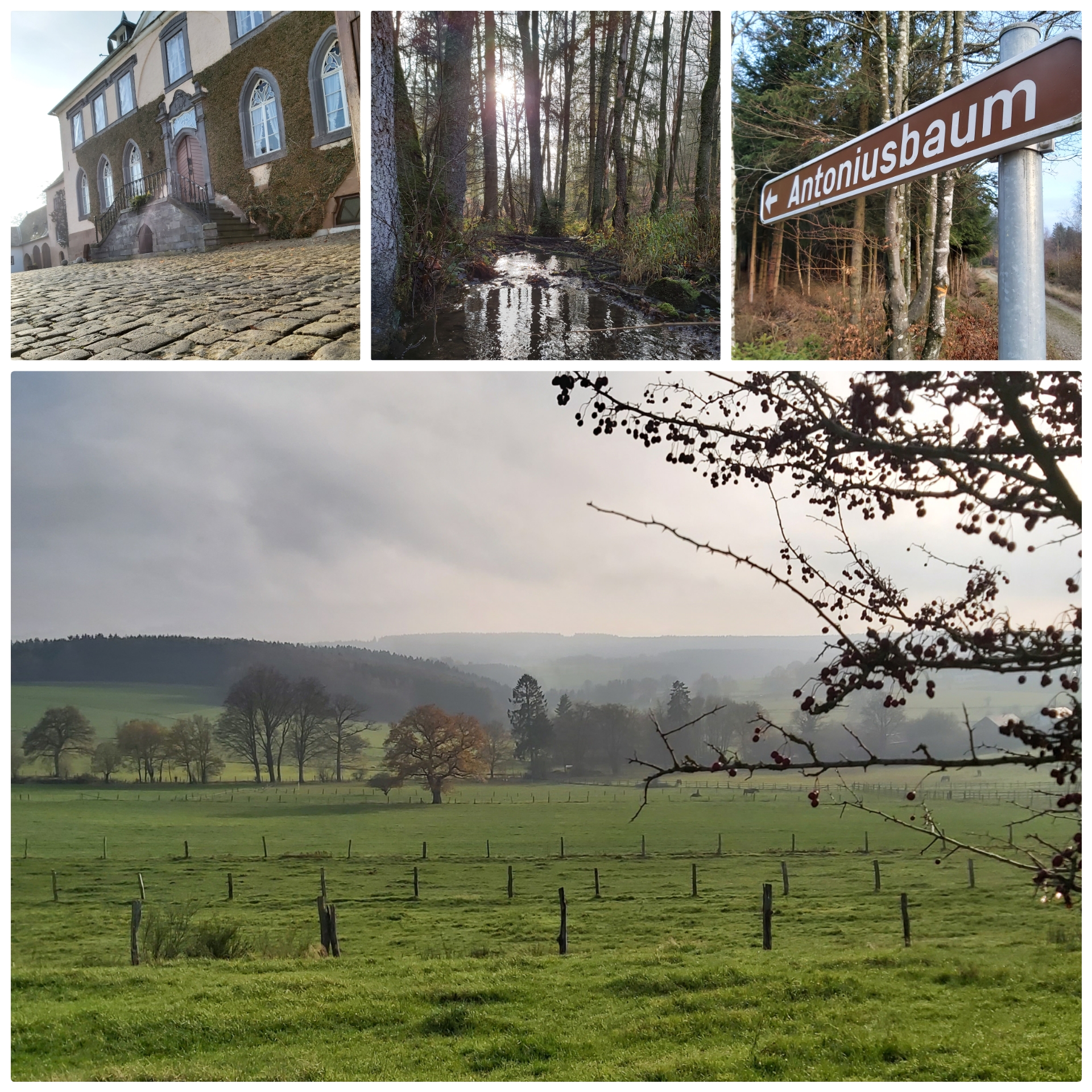sanktvithouristinfo-bs.jpg?width=200&height=200)
Hiking tip nr. 8
Winterwald
Sankt Vither Wald (forest of Sankt Vith)
Start/finish: Ravel 'Alte Mühle'/outdoor pool, direction Sankt Vith
Walking nodes 41-33-36-32-45-36-42-33-41
4,6km
not suitable for pushchairs, occasionally muddy path, but enchanted by the snow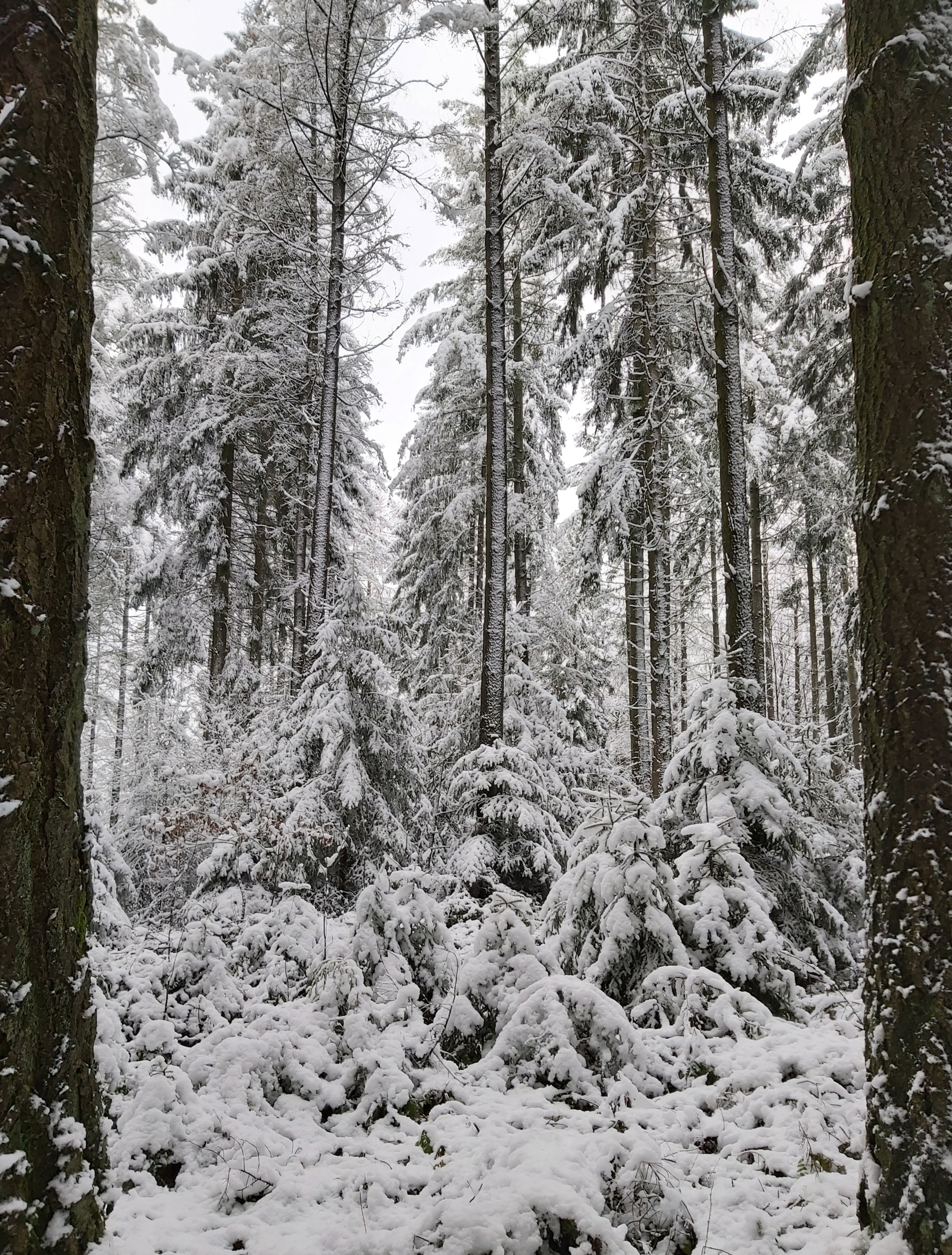sanktvithtouristinfo-bs.jpg?width=180&height=263)
Hiking tip nr. 9
Recht
Start/finish: Corner of the streets Dorfstraße/Zur Ochsenbaracke
Walking nodes 56-82-25-22-84-81-56
5,3km
suitable for pushchairs
!! steep ascent
sanktvithtouristinfo-bs.jpg?width=200&height=200)
Hiking tip nr. 10
Galhausen
Start/finish: street 'Braunlaufweg', walking node 53
Walking nodes 53-60-54-61-90-56-60-53
6,1km
not suitable for pushchairs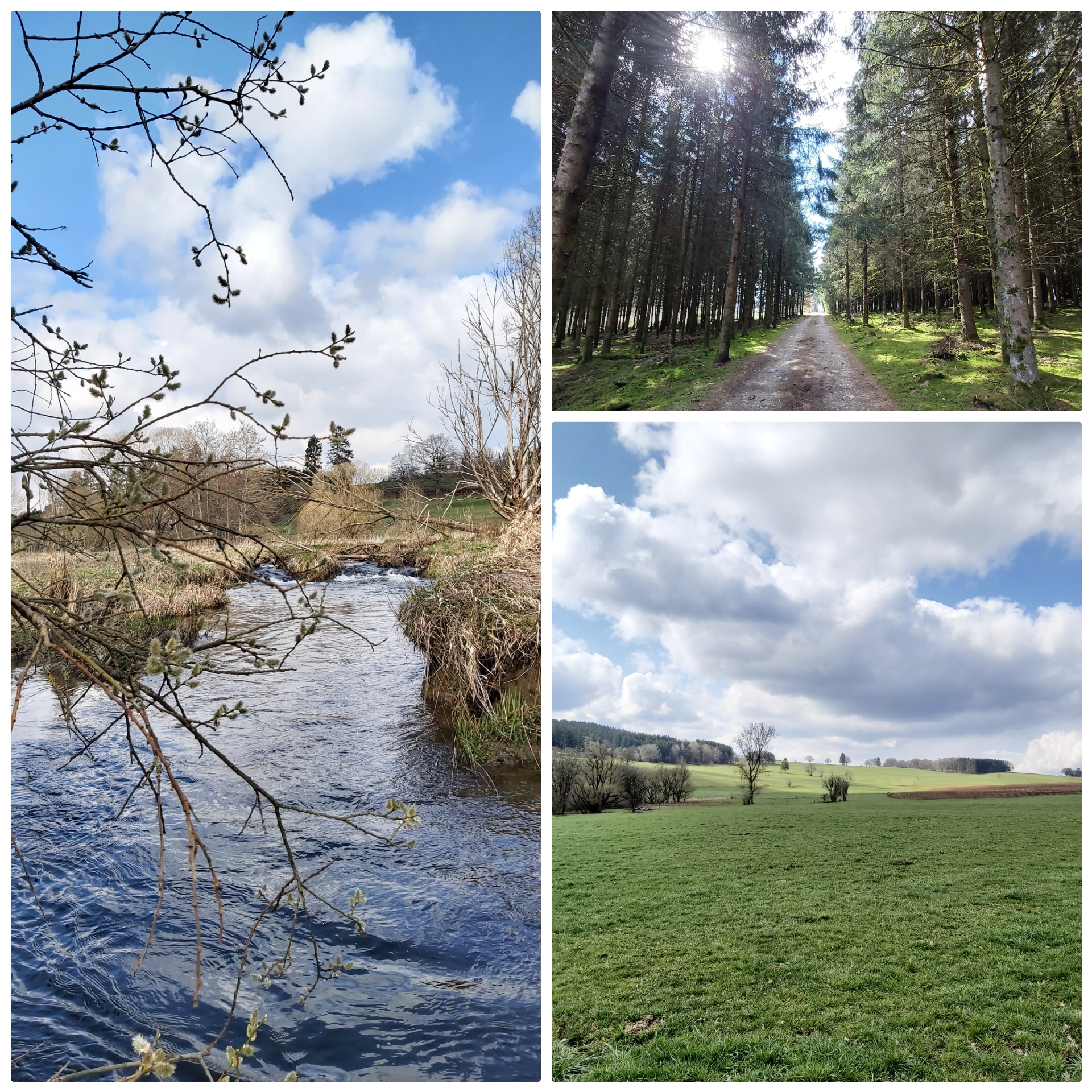sanktvithtouristinfo-bs.jpg?width=200&height=200)
Hiking tip nr. 11
Heuem
Start/finish: walking node 17 (parking)
Walking nodes 17-29-26-18-8-17
5,3km
not suitable for pushchairs, as the loop between KP17 and KP29 runs along a gravel path (feels a bit like walking on the beach...)
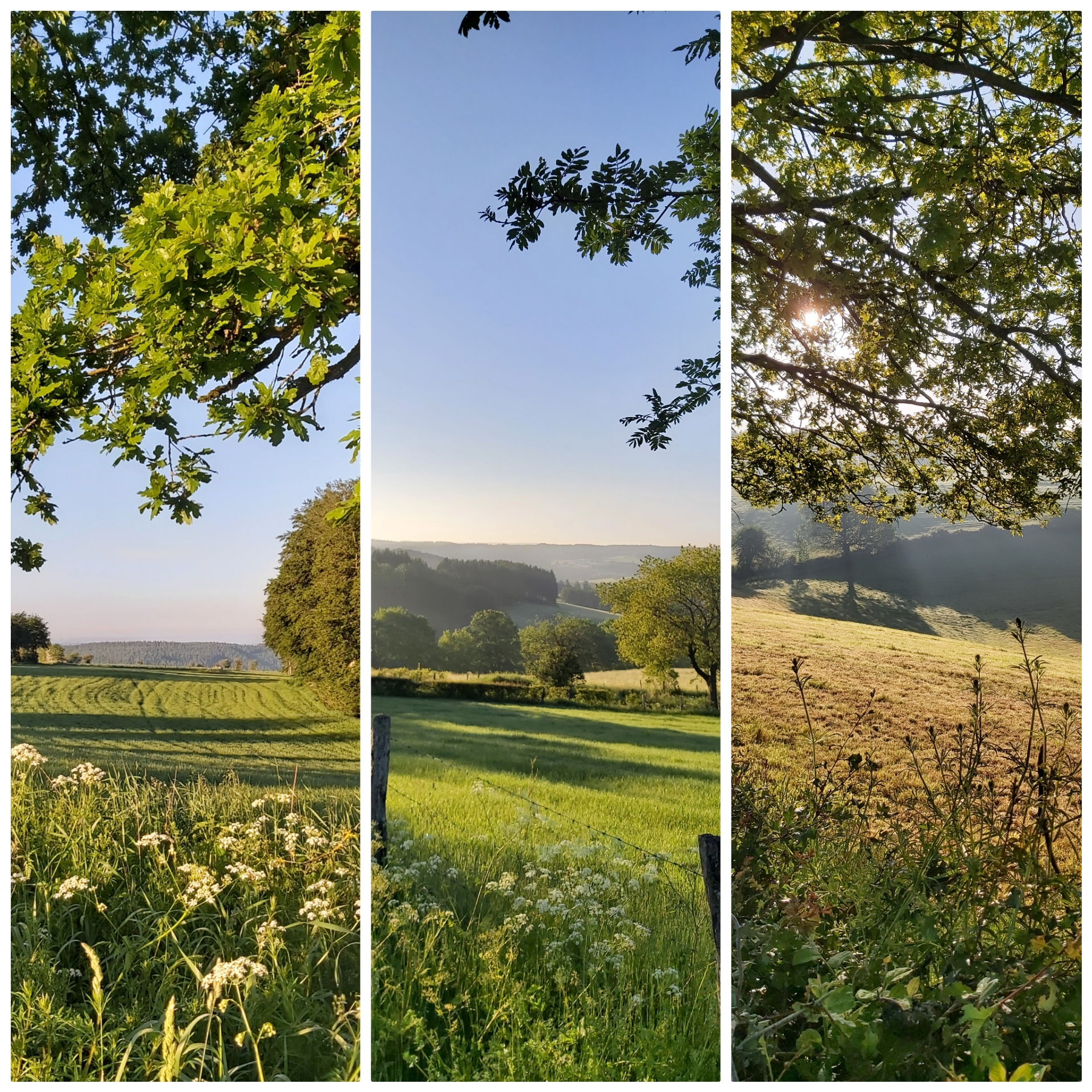sanktvithtouristinfo-bs.jpg?width=200&height=200)
Hiking tip nr. 12
Hinderhausen
Start/finish: walking node 76 (near the church, parking)
Walking nodes 76-77-51-9-16-94-39-66-76
7,8km
panoramic view guaranteed
suitable only for pushchairs with large tyres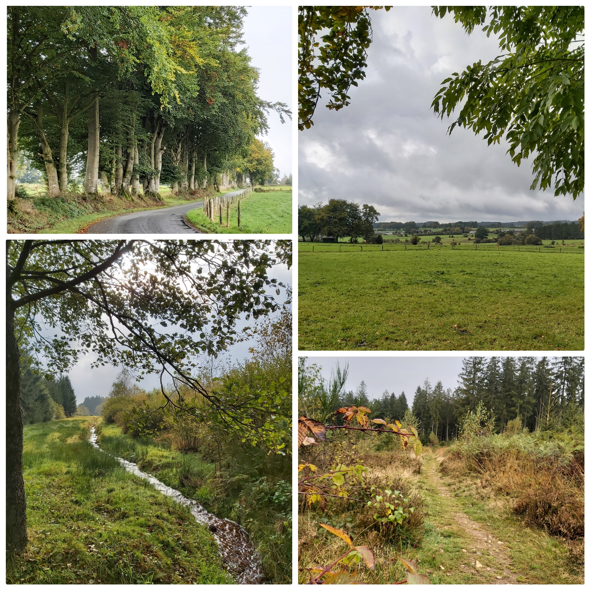sanktvithtouristinfo-bs.jpg?width=200&height=200)
Hiking tip nr. 13
Winterwanderung
Rodt
Start/finish: parking beermuseum in Rodt
Walking nodes 93-94-16-48-29-38-93
4,2km
suitable for pushchairs (as long as the snow allows)
Wandertipp Nr. 13 auf Facebook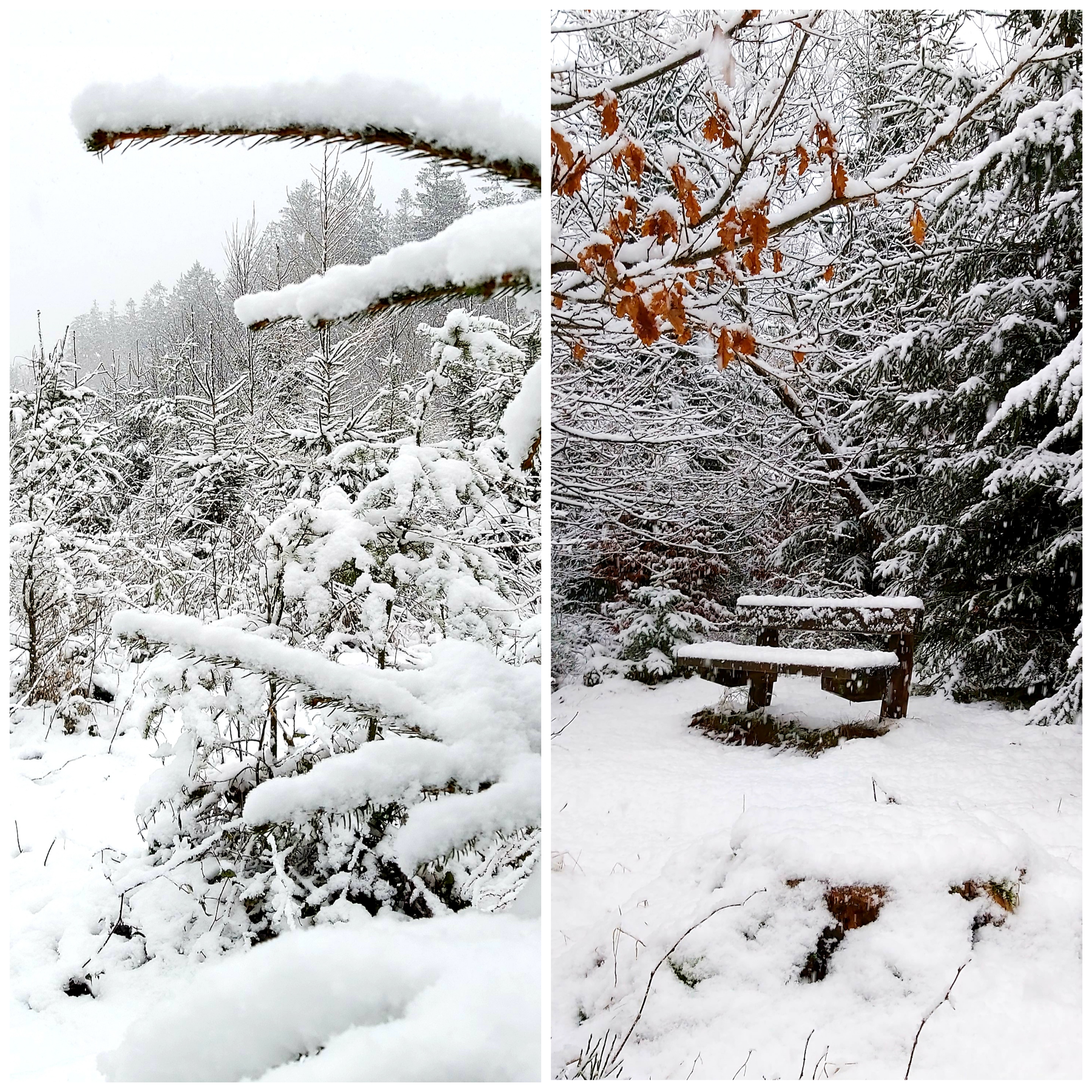sanktvithtouristinfo.jpg?width=200&height=200)
Hiking tip nr. 14
Neidingen
Start/finish: village center, walking node 70
Walking nodes 70-46-59-15-07-29-55-17-53-70
9,9km
not suitable for pushchairs
Wandertipp Nr. 14 auf Facebook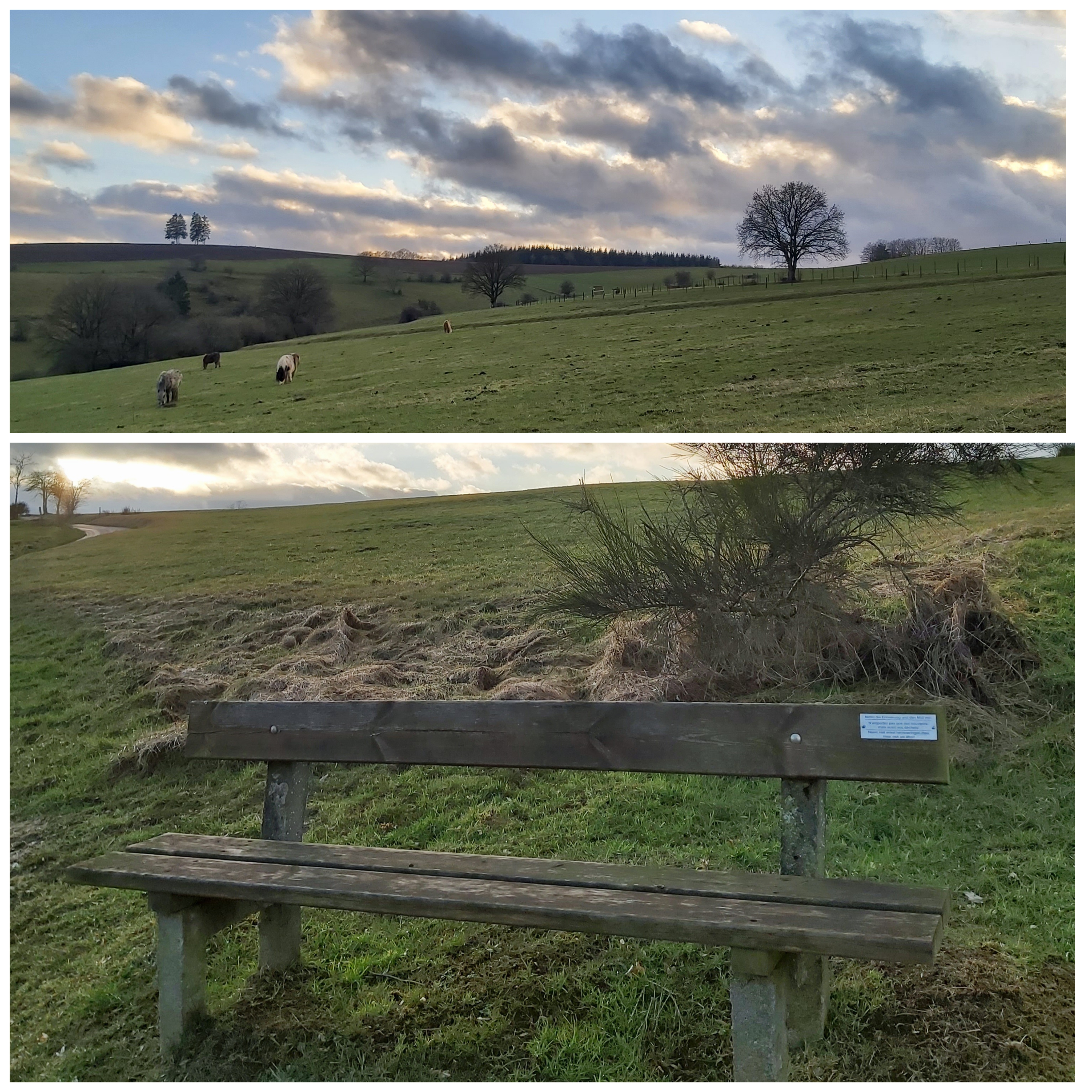sankvithtouristinfo-bs.jpg?width=200&height=200)
Hiking tip nr. 15
Hünningen
Start/finish: at the roundabout in the direction of Maas-Rhein-Straße, direction walking node 3 (more info on Facebookn picture 5), parking
Walking nodes 3-4-5-23-92-34-3
9,4km
suitable for pushchairs (in dry weather)
Wandertipp Nr. 15 auf Facebook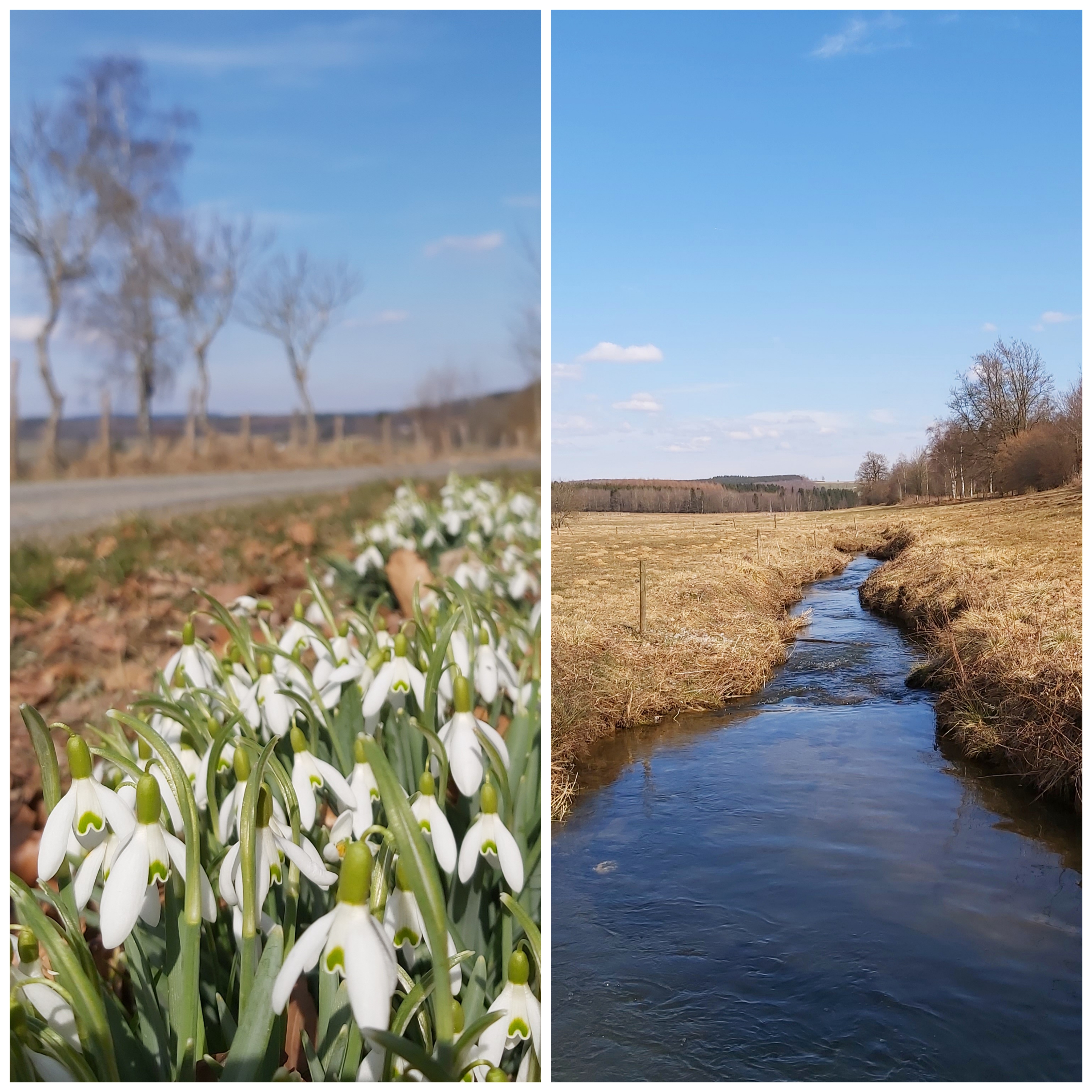sanktvithtouristinfo-bs.jpg?width=200&height=200)
Hiking tip nr. 16
Lommersweiler
Start/finish: parking at the church
Walking nodes 72-59-46-75-58-71-72
7,8km
not suitable for pushchairs
Wandertipp Nr. 16 auf Facebook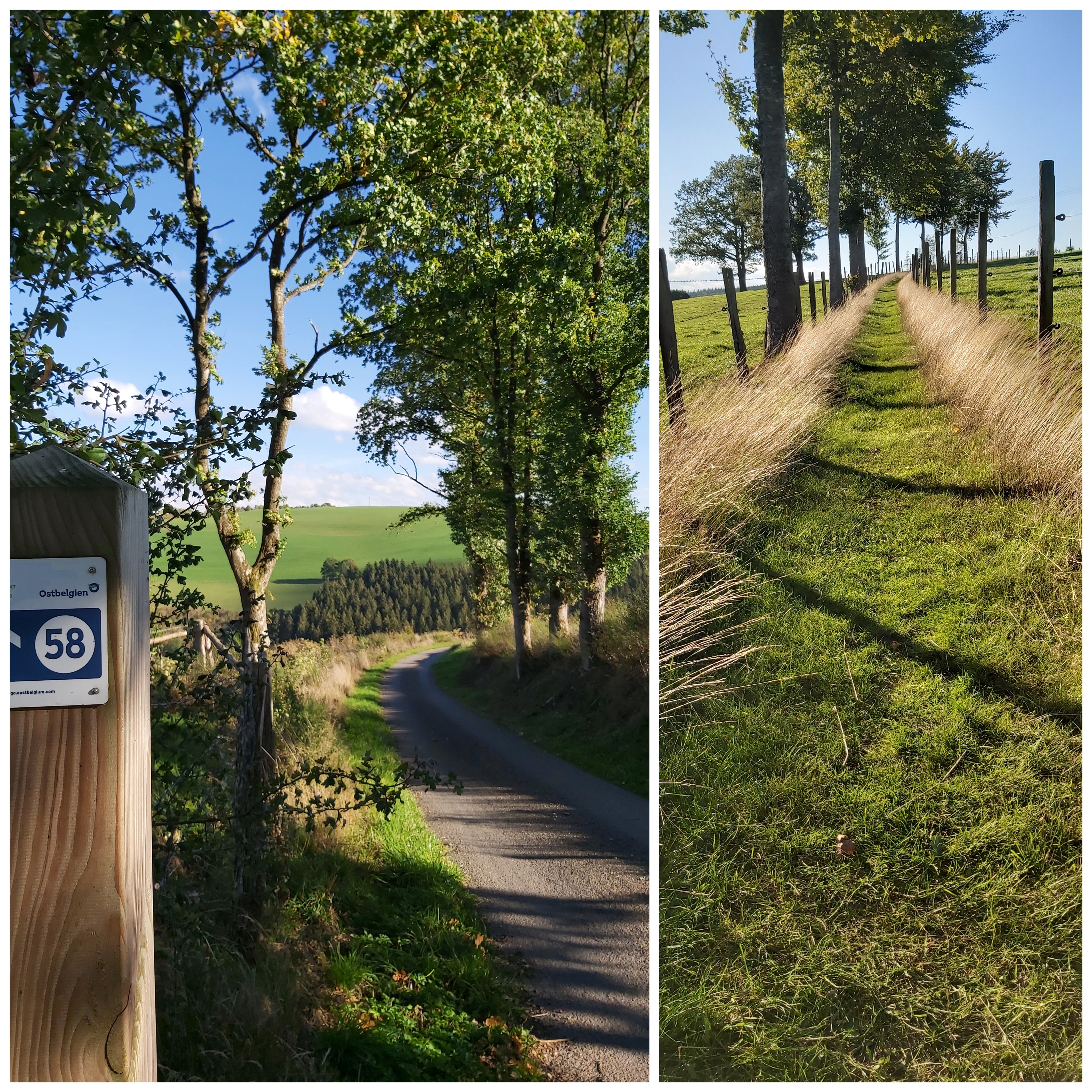sanktvithtouristinfo-bs.jpg?width=200&height=200)
Hiking tip nr. 17
Neidingen
Start/finish: village center, near the chapel 'Sankt Antonius', parking
Walking nodes 59-15-16-71-72-59
7,8km
not suitable for pushchairs
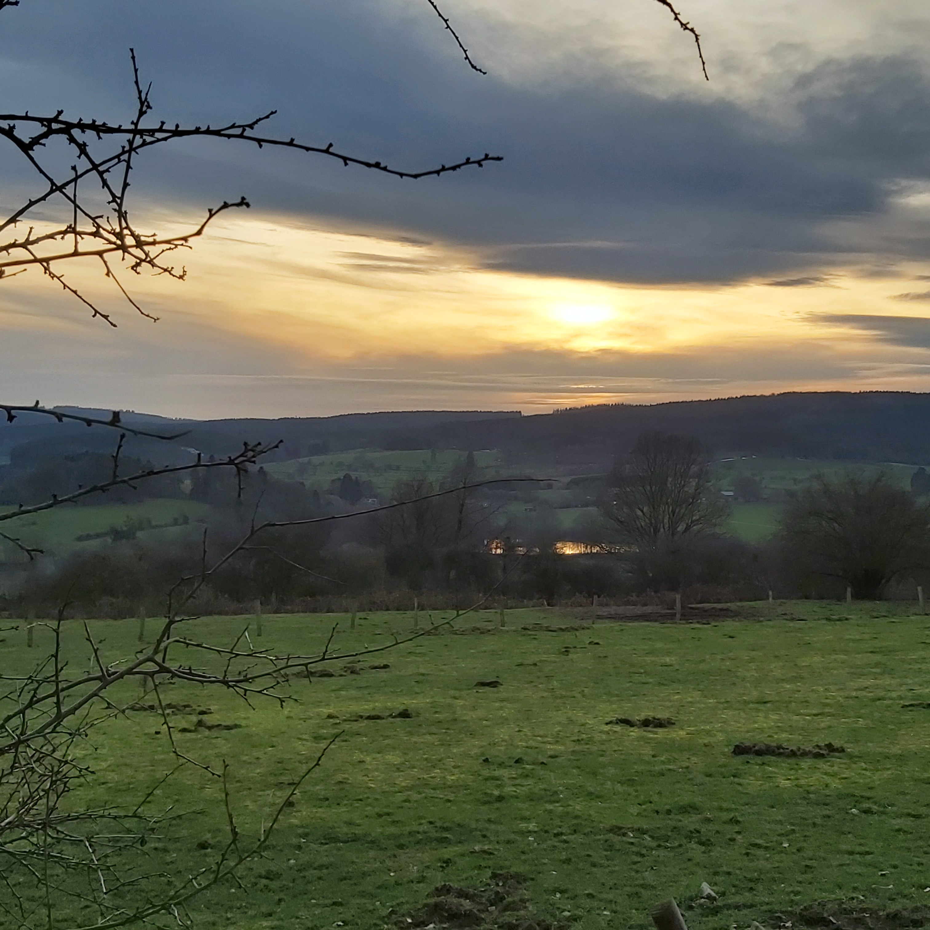
always a great panorama
best walkable in dry weather or when there was frost (otherwise a bit muddy in places)
a few metres in altitude have to be mastered, but it's worth it
Wandertipp Nr. 17 auf Facebook
Hiking tip nr. 18
Recht - Schafsbrücke
Start/finish: parking near waking node 99, 'Rechter Weiher'
Walking nodes 99-85-98-14-11-99
4km
suitable for pushchairs
great panoramic views again and again and the highlight towards the end of the loop, between walking node 11 and 99:
- the sheep bridge -
Wandertipp Nr. 18 auf Facebook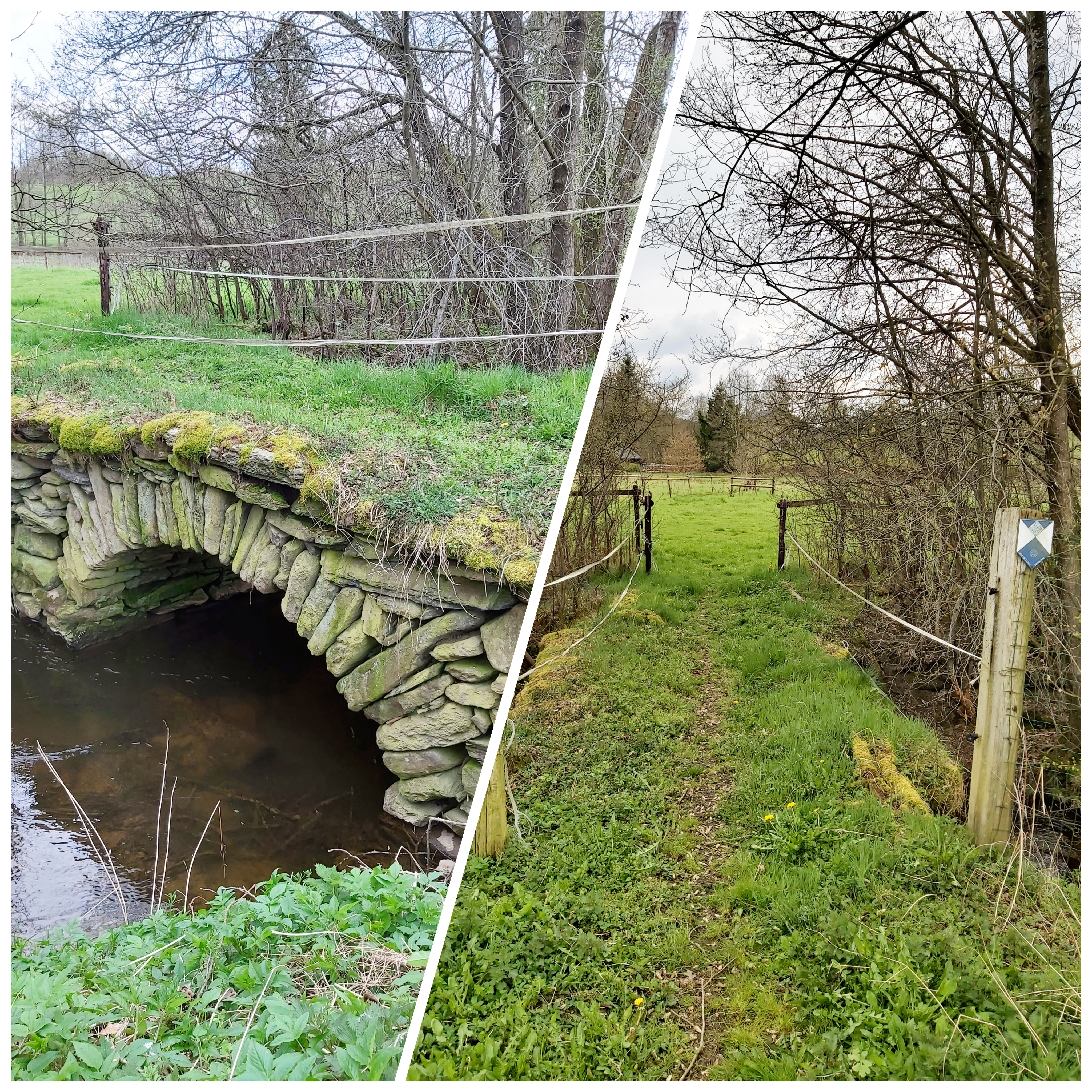sanktvithtouristinfo-bs.jpg?width=200&height=200)
Hiking tip nr. 19
Neubrück
Start/finish: walking node 61 near 'Forellenhof', parking
Walking nodes 61-90-18-74-73-27-71-21-52-61
8,3km
suitable for pushchairs (if the pushchair has large tyres)
easy tour without many metres in altitude, but with many wonderful views
Wandertipp Nr. 19 auf Facebook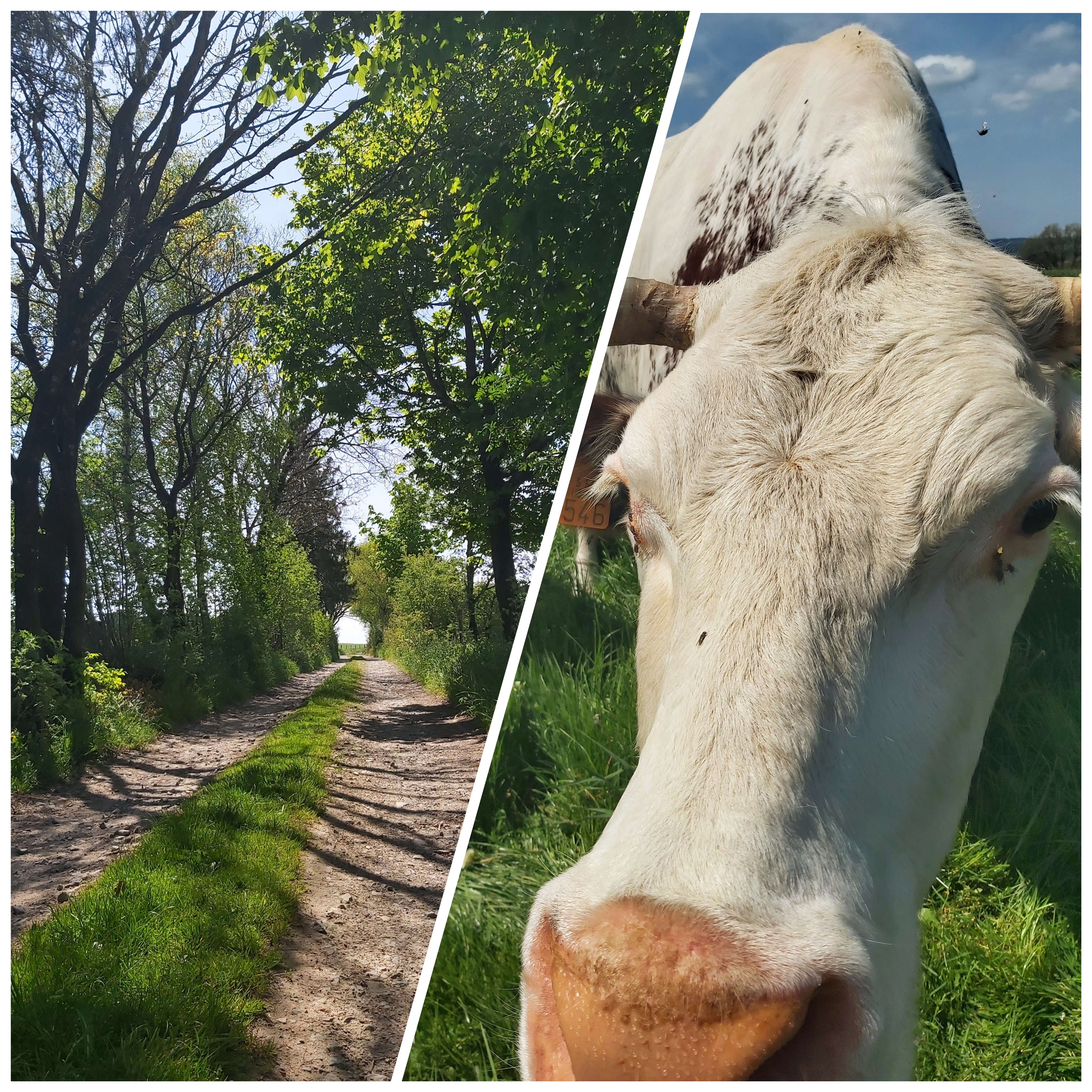sanktvithtouristinfo-bs.jpg?width=200&height=200)
Hiking tip nr. 20
Wallerode
Start/finish: between walking node 45 and 21 (street 'Prümer Berg', in direction of Eiterbach/Schönberg)
Walking nodes 21-37-88-19-32-45-21
12,2 km
suitable for pushchairs, if it can be a bit bumpy ...
Highlights of the tour: the listed 'Wallerode Castle' and the legendary 'Antonius Tree', which is a protected landscape
Wandertipp Nr. 20 auf Facebook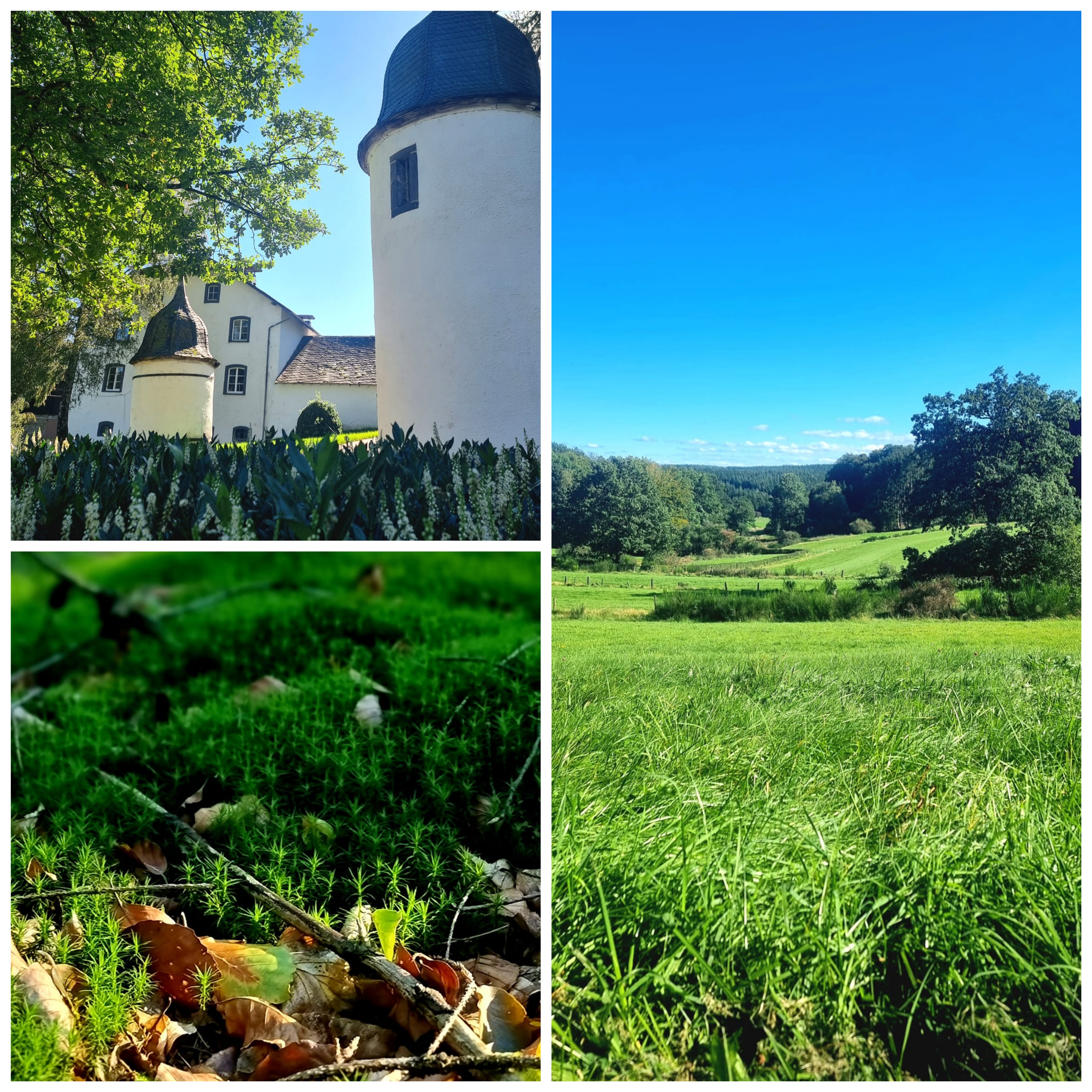sanktvithtouristinfo-ih.jpg?width=200&height=200)
Hiking tip nr. 21
Rodt
Start/finish: 'Rodter Buchen', walking node 39
Walking nodes 39-94-16-9-51-77-76-66-39
7,8 km
not suitable for pushchairs
easy round without many metres of altitude, sometimes through the forest, sometimes through meadows, sometimes small paths, sometimes paved paths
Wandertipp Nr. 21 auf Facebooksanktvithtouristinfo-bs.jpg?width=200&height=200)
Mit Ihrem Filter konnten leider keine Einträge gefunden werden.